Drone Services Overview
Specializing in drone aerial photogrammetry, surveying, 3D modeling, volume measurements, and photography services.


3D Modeling Services
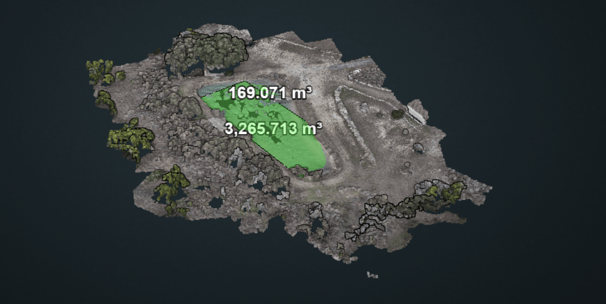
Expert 3D modeling for land and structures, enhancing visualization and planning for various projects.
Surveying Expertise
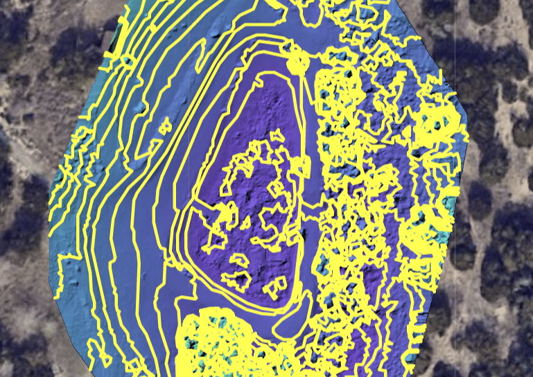
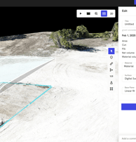
Accurate drone surveying solutions, including site progress reports and material volume measurements for informed decision-making.


Gallery
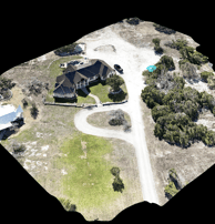
Explore our stunning drone imagery and innovative surveying solutions.


Fly Sight provided exceptional drone surveying services that greatly improved our project efficiency and accuracy.
Their 3D modeling and site progress reports were invaluable for our construction project. Highly recommend their services!
