Expert Drone Services
At Fly Sight, we specialize in drone aerial photogrammetry and surveying, providing precise measurements, 3D modeling, site reports, and stunning photography.


Who We Are
Our team delivers exceptional drone services, ensuring accurate material volume assessments, detailed 3D models, and comprehensive site progress documentation for your projects.
Drone Services Offered
Specializing in aerial photogrammetry, surveying, 3D modeling, and site progress reporting for various projects.
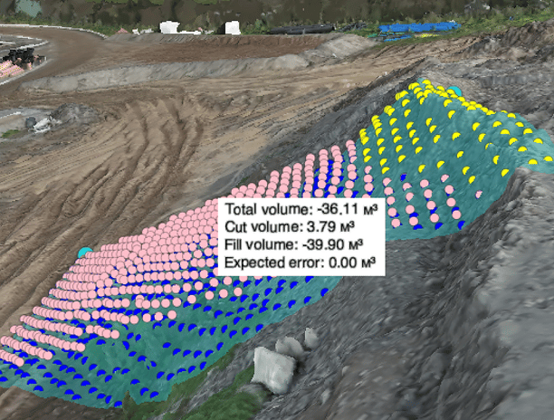
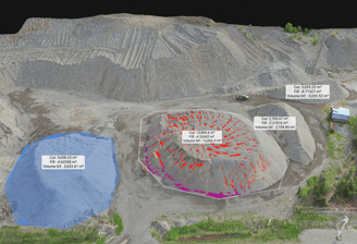
Volume Measurements
Accurate material volume measurements using advanced drone technology for precise project planning and execution.


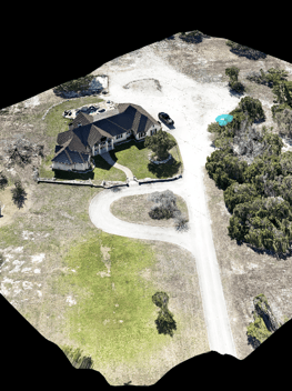
3D Modeling
Creating detailed 3D models of land and structures to enhance visualization and project analysis.
Comprehensive site progress reports to keep stakeholders informed and ensure timely project completion.
Site Progress Reports


Gallery
Explore our stunning aerial imagery and detailed 3D models.


Fly Sight provided exceptional drone surveying services. Their 3D modeling and site progress reports were invaluable for our project. Highly recommend their expertise!
★★★★★
